What is FME?
The only all-data, any-AI platform
TRAINING
Hands-on, practical training for individuals and teams
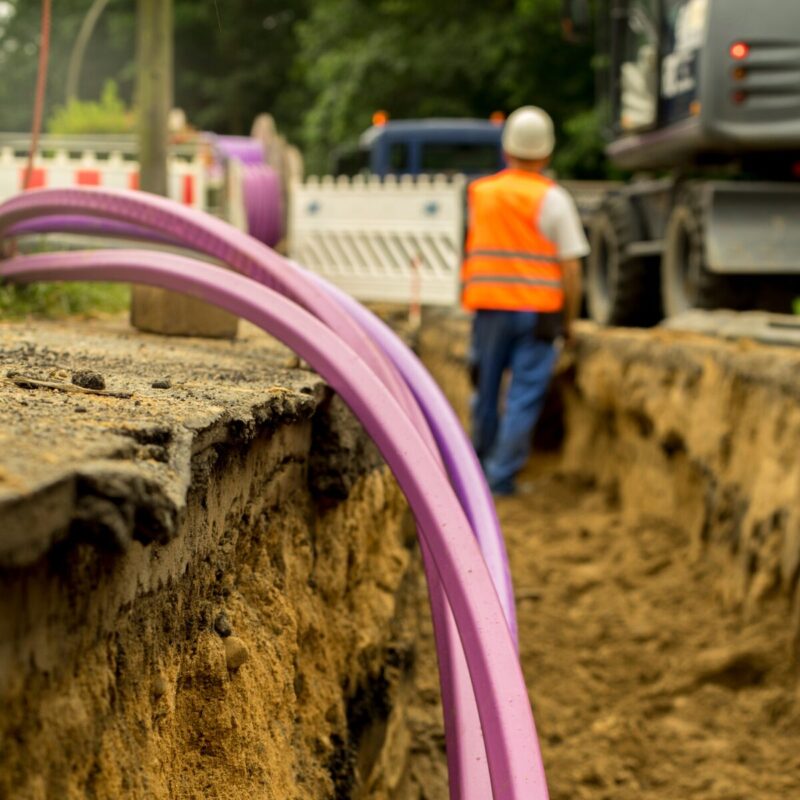
INTEGRATION
Remove silos, connect all your data and make it usable
CUSTOMER SUCCESS STORY
By integrating multiple disparate data sources into a single FME-powered dashboard, NZ Police replaced fragmented, manual event preparation with a centralised real-time intelligence tool, improving operational efficiency in major event management by more than 30%.


– Sarah Hodgson, Manager Geospatial Intelligence, NZ Police

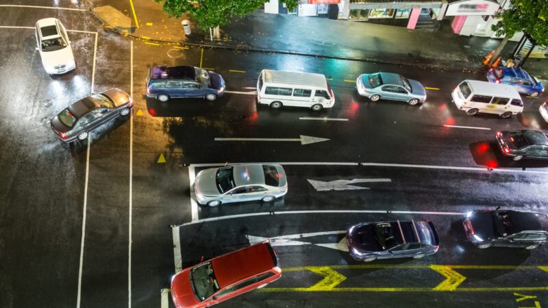
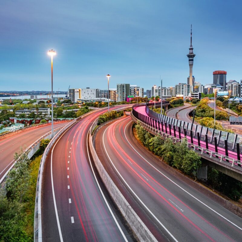
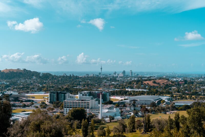
The New Zealand Police, custodians of law and order, play a crucial role in preventing and investigating crimes, ensuring public safety, and upholding the justice system. Their public safety and community engagement remit extends to providing security and support during significant local and national events. Events of this scale require a comprehensive understanding of site, surroundings, and the deployment of resources. The NZ Police Geospatial team recognised the need for a centralised solution to support major events, including planned venue-based and unplanned disaster response events to enhance their operational effectiveness.
In response to the requirement for a centralised solution, the NZ Police Geospatial team developed a dashboard powered by FME. The Major Events Support Dashboard leverages geospatial data by pulling information from multiple disparate data sources within Police systems and provides a comprehensive spatial awareness of event sites, with the ability for staff to filter data based on event location, police district, and specific time periods. Police personnel can quickly establish resource allocation in advance based on known factors, as well as plan for a scaled response.
Successfully operable across a number of high-profile major events including Waitangi Day Commemorations, FIFA Women’s World Cup, and the General Election, the Major Events Support Dashboard is a tool the organisation wouldn’t be without and has been instrumental in decision-making across resource allocation, event management, and deployment strategies.
By utilising FME to unify geospatial and operational data into a single, filterable dashboard, public safety agencies can give their teams a real-time picture of any event environment enabling smarter resource allocation, faster responses, and greater confidence at every level of command.
Powered by Locus Expertise
The New Zealand Police Geospatial team addressed the challenge of efficient resource allocation during major events by creating the Major Events Support Dashboard, powered by FME. This innovative solution aggregates data from various sources, offering spatial insights and filtering options for event sites, police districts, and timeframes. The dashboard has proven indispensable during significant events like the Waitangi Day Commemorations and the FIFA Women’s World Cup, aiding in resource allocation, event management, and deployment strategies.