What is FME?
The only all-data, any-AI platform
TRAINING
Hands-on, practical training for individuals and teams
INTEGRATION
Remove silos, connect all your data and make it usable
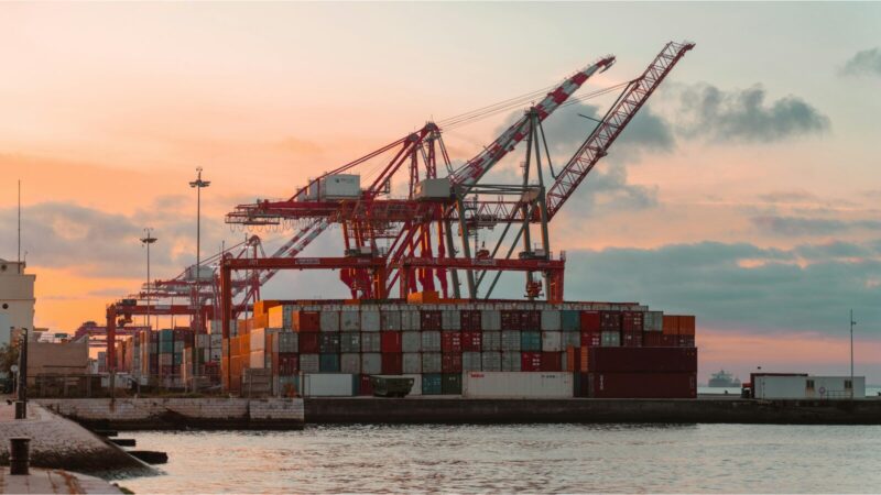
CUSTOMER SUCCESS STORY
By using FME to integrate and transform multi-format data into a live 3D model, Napier Port gave their project team complete daily visibility over dredging volumes, deposit locations, and environmental compliance enabling clear communication with stakeholders and real-time identification of any potential impacts on marine wildlife, biosecurity, and water quality.


“FME provides me with the ability to connect and transform data sets that compare dredging estimates with actuals and track operational performance on a daily basis.”
– Matthew June, Infrastructure GIS/CAD Technician, Napier Port
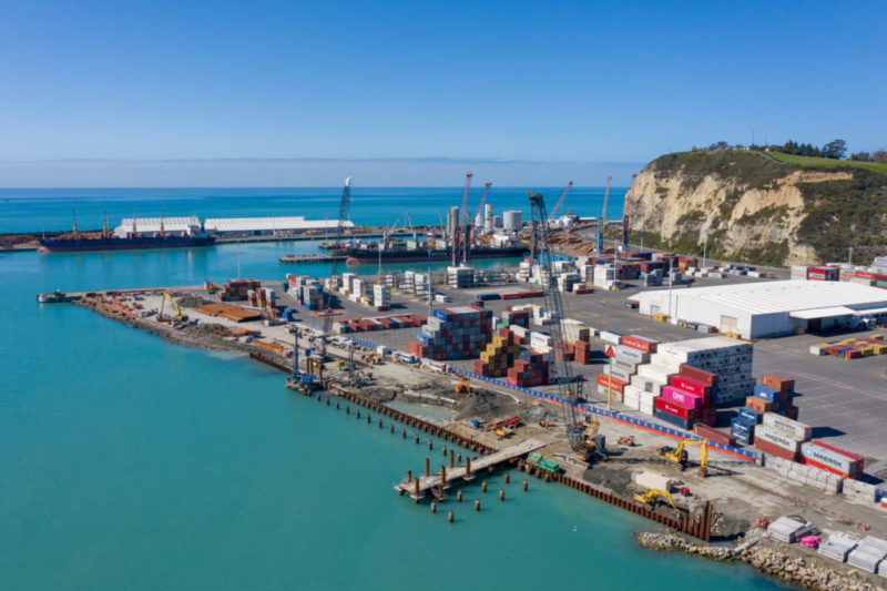
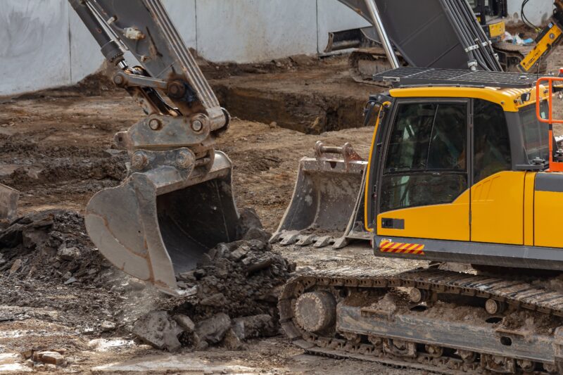
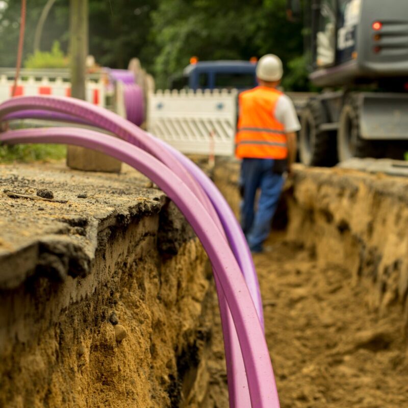
Managing the impact of dredging and disposal on the environment in the construction of the new wharf at Napier Port requires the project team to regularly engage with key stakeholders and maintain compliance with resource and regulatory requirements throughout. The wharf will offer extended vessel capacity and meet the future growth profile for the region.
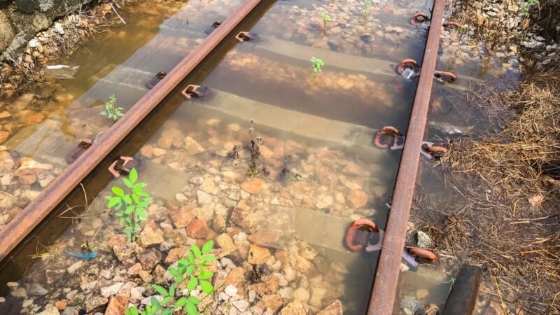
As part of the wharf development, a dredging programme will create a new turning area and ensure ships can safely use the wharf.
Providing an instrumental role in managing the dredging requirements is FME, the data integration platform. The development of a 3D model of the new wharf together with data of various formats and sources, transformed in FME, provides complete transparency over the intended depth, estimated volume, and nature of the dredged material.
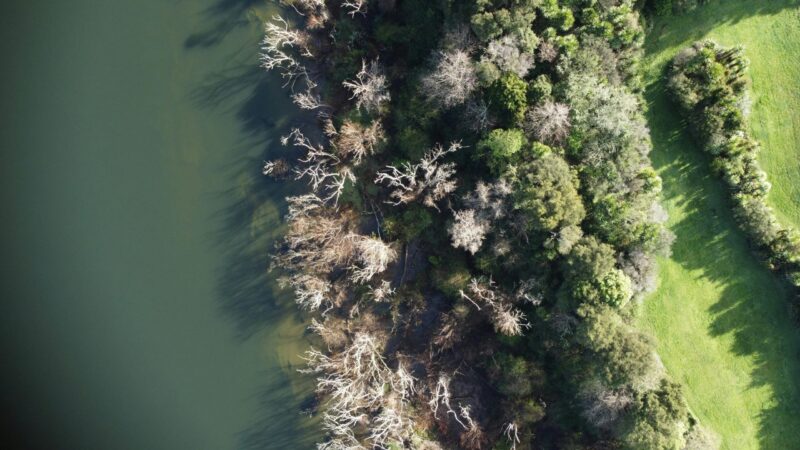
Dredged material is deposited at a consented site east of the port and the precise nature of the volume and location is tracked by FME. 3D modelling enabled by FME means dredged deposits are monitored in real time and any potential conflict with marine wildlife, birds, biosecurity, water quality, or cultural impacts are identified and mitigated.
The FME-powered approach gave the project team the ability to communicate visually and with clarity on all environmental and biosecurity factors related to the wharf construction. With dredging estimates compared against actuals on a daily basis, the team maintains a precise, continuously updated picture of operational performance throughout the construction programme.
Major infrastructure projects at the coastal interface carry significant environmental obligations and meeting them requires more than good intentions. Regulators, iwi, and environmental stakeholders need to see evidence, not assurances.
By utilising FME to integrate multi-format data into real-time 3D models of dredging activity, port and infrastructure operators can maintain continuous, auditable visibility over environmental compliance — transforming what would otherwise be a labour-intensive reporting burden into a live, spatially accurate picture that supports confident decision-making and stakeholder trust throughout construction.
Powered by Locus Expertise