What is FME?
The only all-data, any-AI platform
TRAINING
Hands-on, practical training for individuals and teams
INTEGRATION
Remove silos, connect all your data and make it usable
CUSTOMER SUCCESS STORY
By automating its water resource data request process using Esri applications and FME, Auckland Council reduced turnaround times from 10 days to just 3–4 days, improving service delivery for customers, freeing up GIS team capacity, and creating a secure, scalable workflow for managing one of New Zealand’s most critical resources.


– Meena Ilamurugan, Product Owner, Auckland Council
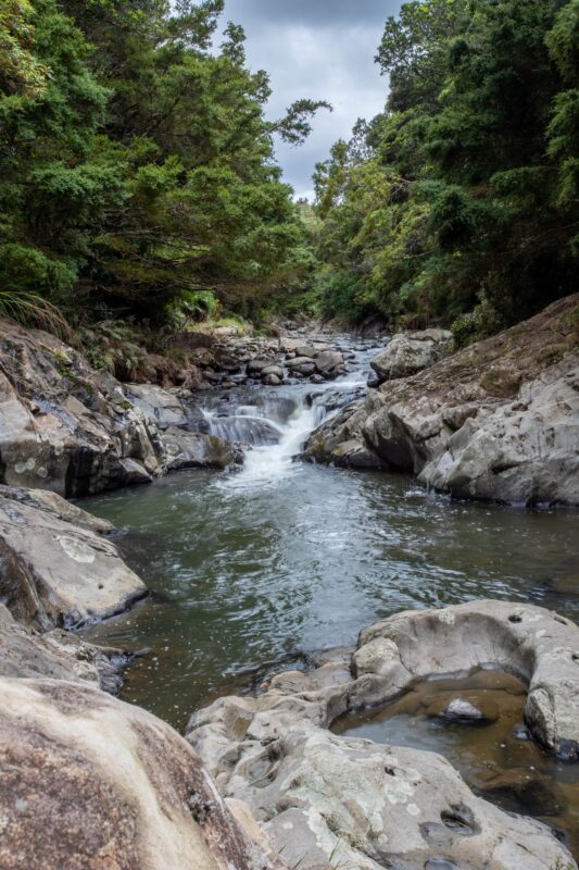
Managing water resources is a critical responsibility for Auckland Council, especially in a city of over 1.7 million people where demand is high. To protect water resources, water takes; extractions from rivers, lakes, or aquifers require strict monitoring and regulation to ensure sustainable use. Likewise, bores, which are wells drilled to access groundwater, are subject to resource consents under New Zealand’s Resource Management Act.
Handling ad hoc data requests for bores and water takes was a time-consuming, manual process for Auckland Council. These requests, from both external organisations and internal departments, required approvals, NDAs, and tailored data specifications. The complexity of these requests led to delays of up to 10 days, frustrating stakeholders and placing unsustainable demand on the GIS team.
Auckland Council implemented a solution combining Esri applications and FME to automate every step of the workflow. Central to this transformation was a Survey123 form, which became the standardised method for customers to submit data requests. This form allowed users to include data use agreements and draw their specific area of interest on a map, simplifying the submission process.
Once a request was submitted, the system triggered an approval workflow. An email notification alerted Auckland Council’s Regulatory Support team, who accessed an Esri Experience Builder application to approve or reject requests. Approved requests were processed through FME, which packaged the data and delivered it securely, while rejections prompted email notifications to customers, ensuring clear communication.
A key innovation was a custom transformer designed to update the record status field via the ArcGIS feature service API, eliminating the need to store authentication credentials on a writer and enhancing security. The transformer’s flexibility allowed it to function across multiple environments by utilising parameters like service and portal URLs. Robust error-handling mechanisms further enhanced the workflow, providing detailed messages for troubleshooting and ensuring smooth daily operation.
process. Automating submissions, approvals, and data packaging has reduced turnaround times by 60%, from 10 days to just 3–4 days, freeing up valuable resources for other critical tasks. The secure, efficient workflow is not only user-friendly but also ensures compliance and reliability. By eliminating manual bottlenecks and increasing automation, Auckland Council has improved its ability to manage water resources effectively, ensuring long-term sustainability and service delivery for its growing population.
By utilising FME to automate the full lifecycle of a data request from submission and approval through to secure, packaged delivery councils and government agencies can transform a labour-intensive obligation into a fast, reliable, and auditable service that scales with demand.
Powered by Locus Expertise
Auckland Council streamlined its water data request process using FME, reducing turnaround times from 10 days to just 3-4 days. By automating submissions, approvals, and data delivery, they improved efficiency, security, and customer service.