What is FME?
The only all-data, any-AI platform
TRAINING
Hands-on, practical training for individuals and teams
INTEGRATION
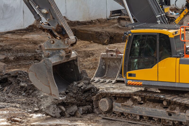
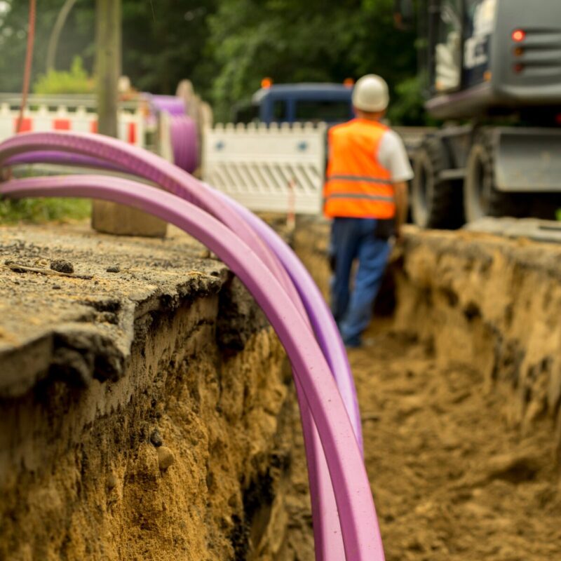
Remove silos, connect all your data and make it usable
CUSTOMER SUCCESS STORY
By creating a self-seBy using FME to automate a complex scoring system, Auckland Transport has simplified intricate data interactions and transformed how it assesses urban infrastructure, producing network-wide planning insights in months rather than years.


– Andrew McGill, Group Manager Transport Network,
Planning & Policy, Strategy and Governance, Auckland Transport
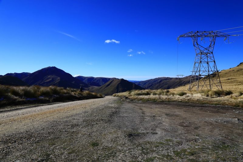
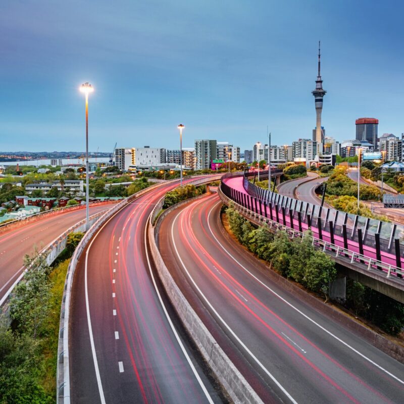
Auckland, New Zealand, is home to 1.7 million people and is expected to increase to 2.2 million over the next 30 years. The city’s transportation network, administered by Auckland Transport, is facing significant pressure. Over 7,000 km of roads are currently being managed, with less than 10% being motorways. The remaining roads are arterial and local streets. Simply building more roads is not a sustainable solution.
In partnership with Auckland Council, Auckland Transport created the Roads and Streets Framework (RASF) to guide and influence the evolution of the city’s transportation network. This framework helps city planners make informed decisions by considering traffic flow, along with the importance and impact of roads and streets on the community. FME plays an influential role in automating and streamlining the RASF assessment process, simplifying the visualization of complex data, and rapidly providing insights into the road network.
RASF introduces two key concepts: Place (P) and Movement (M). Place measures the significance of a road or street based on its surrounding land use. For instance, a busy shopping street might be rated highly in the Place category. Movement, on the other hand, evaluates how important a road is for transporting people and goods. Combining these two factors, RASF creates a detailed picture of how each road functions within the broader transportation system.
Auckland Transport uses these Place and Movement values to create typologies that describe the roles of roads and streets across the city. These typologies guide decisions from where to prioritise public transport, enhance pedestrian safety or efficiently transport freight. With FME’s automation capabilities, complex data interactions are simplified and basic RASF assessments conducted instantly, providing Auckland Transport staff with a concise snapshot of any road or street in the region.
The RASF Movement and Place Viewer, powered by ArcGIS and enabled by FME, also allows users to explore current and future road types across the Auckland region. It provides a side-by-side comparison of how roads function today versus how they might evolve in the future. With the help of FME, Auckland Transport is equipped to plan more effectively, ensuring the city’s transportation network meets the needs of its growing population.
FME plays a pivotal role in transforming Auckland Transport’s ability to score roads and streets using RASF concepts and data sets. By automating these processes, insights that once took years to compile can now be produced in months. This efficiency is vital for Auckland’s rapid growth, providing Council and Transport teams with the timely data they need to make informed, confident decisions that shape the future of the city’s infrastructure.
Auckland, New Zealand, is experiencing rapid growth, and its transportation network is under pressure. To address this, Auckland Transport developed the Roads and Streets Framework (RASF) in collaboration with Auckland Council. The RASF uses FME to automate and streamline the assessment process for city planning.
By utilizing FME to orchestrate complex municipal data integration and spatial scoring logic, transportation authorities can eliminate analytical backlogs and accelerate planning cycles. Automating these data frameworks ensures that regional planners receive trusted, multi-variable insights when managing rapid population growth, transforming complex, disconnected datasets into a unified strategy for sustainable urban development.
Powered by Locus Expertise
Auckland Transport, faced with the challenges of rapid urban growth, has revolutionised its city planning process with the Roads and Streets Framework (RASF). Powered by FME, RASF automates the assessment of the city’s road network, providing valuable insights into traffic flow, land use, and future transportation needs. This innovative approach is shaping Auckland’s infrastructure to meet the demands of its growing population.