What is FME?
The only all-data, any-AI platform
TRAINING
Hands-on, practical training for individuals and teams
INTEGRATION
Remove silos, connect all your data and make it usable
CUSTOMER SUCCESS STORY
By combining Esri field tools with automated FME workflows, Auckland International Airport completely overhauled its mosquito inspection reporting process cutting manual data processing by more than 50%, reducing annual GIS processing time from over 300 hours to under 10, and delivering stakeholder reports within hours of field capture rather than days.


– Michael Prior, GIS Manager, Auckland Airport
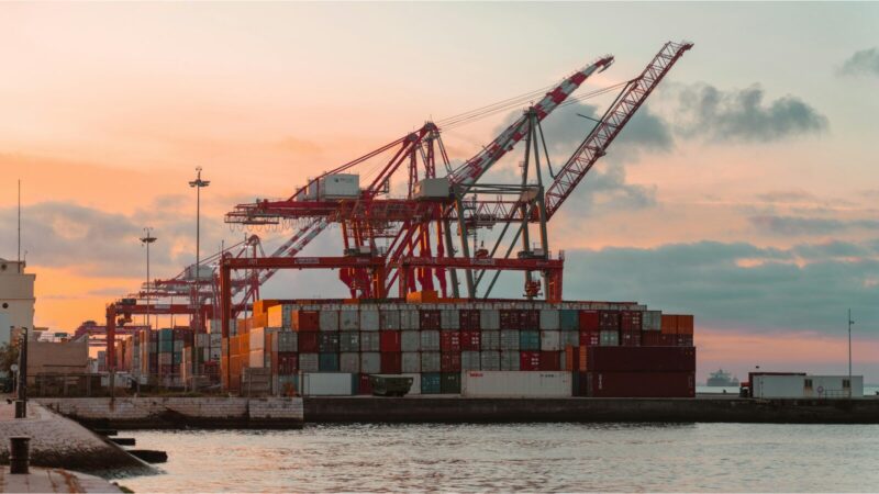
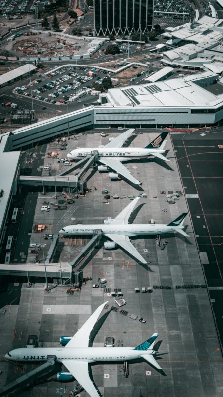
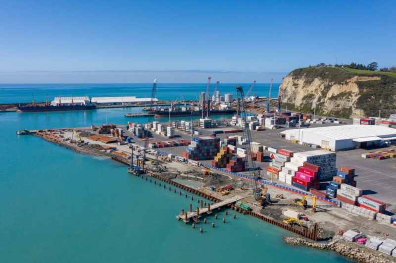
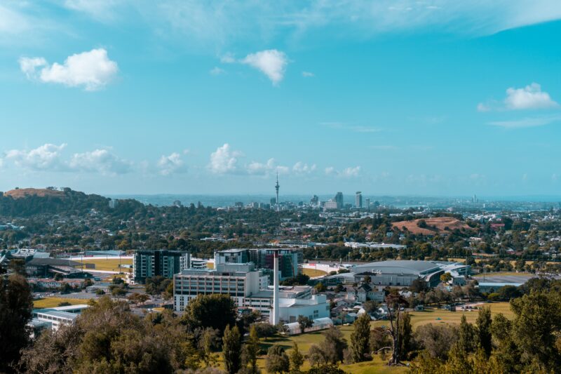
Auckland International Airport is New Zealand’s largest. Over 70% of visitors enter or leave New Zealand via Auckland Airport, and 92% of all airfreight by weight passes through the precinct. Pre-Covid, the airport handled over 18 million passenger movements a year.
New Zealand has strict biosecurity measures and, as an international transport hub, Auckland Airport has a requirement to manage possible biosecurity threats of public health concern and exotic mosquitos are one such threat. The airport wanted processes that would be less manual and time consuming, and would provide greater accuracy in location data. The existing inspection process required GIS team members to perform manual, time-intensive tasks, consuming hundreds of hours of processing time annually and creating delays in stakeholder reporting.
Using a combination of FME and Esri tools, Auckland Airport built a solution that completely overhauled the mosquito inspection processes. Esri tools were used by inspectors to gather field data, and FME workbenches were employed to transform, publish, and archive that data automating the full journey from field capture through to stakeholder report delivery.
The new workflow generates standardised reports and published maps automatically, archives results for auditability, and eliminates the manual GIS processing that had previously consumed the team’s time and capacity.
The new mosquito inspection process delivered notable operational gains including a significant improvement in data quality, over 50% reduction in manual data processing, and GIS processing reduced from over 300 to less than 10 hours per annum. Stakeholders now receive reports, including published maps within hours of data being captured in the field. The solution also delivered enriched data that helps identify trends and improve decision making, more accessible data improving stakeholder satisfaction, and improved confidence in the integrity and accuracy of the data.
By utilising FME to automate the full biosecurity inspection workflow from field data capture through transformation, publication, and archiving airports and border facilities can meet their regulatory obligations faster, with greater accuracy, and with far less demand on skilled GIS staff. The result is better data, better decisions, and a team that can focus on the work that truly matters.
Powered by Locus Expertise
Using a combination of FME and ESRI tools, Auckland Airport built a solution that completely overhauled the biosecurity mosquito inspection processes, significantly reducing manual data processing and improving data accuracy.