What is FME?
The only all-data, any-AI platform
TRAINING
Hands-on, practical training for individuals and teams
INTEGRATION
Remove silos, connect all your data and make it usable
CUSTOMER SUCCESS STORY
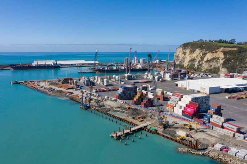
By using FME to aggregate, transform, and validate diverse local and international data sources, the New Zealand Defence Force (NZDF) has cut critical data processing times from days to hours, ensuring rapid, accurate decision-making when lives are on the line.


– Mark Stevenson, Enterprise Geospatial Foundation Compliance Advisor,
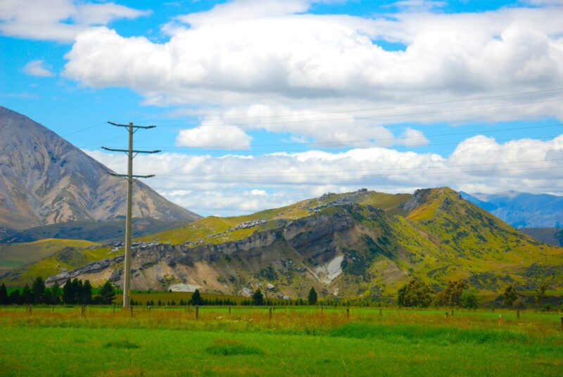
New Zealand Defence Force
Human geography explores the interactions between human activities and the physical environment. The International Program for Human Geography (IPHG) leverages human geography data to tackle global challenges. It enhances disaster response and military planning through its Human Geography Baseline, examining demographics, language, ethnicity, economy, organizations, and religion. Managing this data presented unique challenges for the New Zealand Defence Force (NZDF), as it was a critical project for humanitarian assistance and disaster relief (HADR).
Data was sourced by the NZDF from multiple local and international providers. Government agencies provided trusted data sources, while open-source platforms provided less reliable data that required validation. The urgency of HADR events, including cyclone responses, demanded rapid and accurate assessment of human geography data to inform effective decision-making.
Using FME, the NZDF streamlined the complex process of transforming diverse data sources into standardized formats.
Custom-built FME workbenches were connected to data providers, powering real-time data integration during urgent HADR events. Using an FME transformer, the NZDF mapped census data from the Samoa Bureau of Statistics and boundaries from the Pacific Data Hub into the IPHG schema. FME facilitated visual checks and automated validation, which compared demographic totals to ensure data integrity and accuracy. Regional boundaries were then combined with census attributes, resulting in comprehensive and reliable datasets.
The introduction of FME significantly improved NZDF’s data management practices. Previously, data processing and downloading would take a few days. This process is now down to just hours. Standardized and interoperable data enhances information sharing, supports planning and host nation coordination, and provides support for first responders.
During HADR events, rapid data integration and validation helped NZDF to deliver timely and informed decision-making, which is crucial for accurate damage assessments and effective resource allocation. The data also supports other government agencies assisting in HADR events.
FME also enhanced strategic planning and analysis using demographic data, enabling the NZDF to address long-term challenges such as sea level rise and ensuring comprehensive contingency planning and readiness.
The International Program for Human Geography (IPHG) enhances disaster response and military planning by leveraging human geography data. The New Zealand Defence Force (NZDF) utilized FME to aggregate, transform, and validate diverse data sources, enabling rapid, accurate decision-making during humanitarian and disaster relief events.
By utilizing FME to orchestrate multi-agency data integration and rapid verification logic, defence and emergency services can eliminate operational lag during international crises. Automating these data frameworks ensures that frontline deployment and host-nation coordinators receive trusted, multi-source human geography insights exactly when they need them, transforming fragmented regional data into an accurate, unified picture for rapid humanitarian relief and strategic readiness.
Powered by Locus Expertise
The New Zealand Defence Force (NZDF) has revolutionized its data management capabilities for humanitarian and disaster relief (HADR) operations using FME. By automating the process of aggregating, transforming, and validating diverse human geography data sources, the NZDF can now make more informed and timely decisions during critical events. This has significantly improved operational efficiency and better supported the NZDF’s mission to provide aid to those in need