What is FME?
The only all-data, any-AI platform
TRAINING
Hands-on, practical training for individuals and teams
INTEGRATION
Remove silos, connect all your data and make it usable
CUSTOMER SUCCESS STORY
By using FME to automate landscape screening and parallel process high volumes of environmental data, Morphum Environmental and Auckland Council’s Healthy Waters reduced engineer site-validation time by up to 80% across 5,465 sub-catchments.


– Shannon Fourie, GIS & FME Consultant, Morphum Environmental
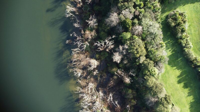
Auckland Council’s stormwater department, ‘Healthy Waters’, is collaborating with Morphum Environmental, a New Zealand engineering and environmental consultancy, to develop a regional-scale catchment management and operational decision-support tool, the ‘Freshwater Management Tool’ (FWMT).
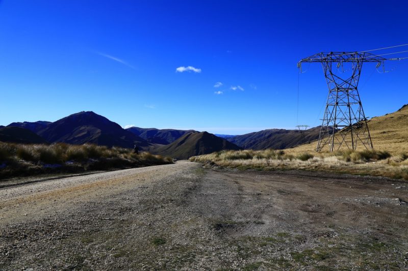
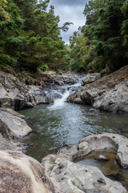
Assessing Auckland’s freshwater systems poses a multifaceted challenge. Given the diverse flow rates of water across the expansive region, ongoing monitoring and management are essential to maintain water quality. Environment monitoring and reporting occur at hundreds of freshwater locations across the region. Faced with high volumes of data generated by water quality models, Morphum needed a way to rapidly map intervention opportunities across a massive area. Given the diversity of model function, scale, and breadth of environment, efficient geospatial workflows were instrumental in the delivery of comprehensive and trustworthy information.
The FWMT also needed the flexibility to easily change or update data and run scenarios. The challenge was finding a way to build a streamlined process that was repeatable, dynamic and efficient.
FME played a crucial role in underpinning FMWT spatial analysis and data management. Morphum developed FME solutions to rapidly map opportunities for water quality interventions such as natural wetlands, rain gardens, and filter systems. An opportunity screening tool was created using FME to scan the landscape and identify interventions that could be applied based on various data inputs and rules.
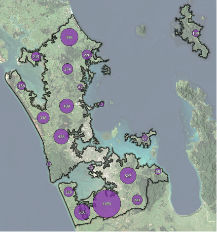
FME mapped each intervention opportunity and treatment area in 5,465 Auckland sub-catchments. The FWMT then optimizes and iteratively models alternative interventions to deliver an optimized solution. Together, FME and FWMT enable a focus on improving water quality without excessive long-term costs to ratepayers, developers, and landholders.
To address the challenges of operating this tool efficiently while ensuring repeatability, a parent-child setup was implemented using workspace runners, which enable parallel processing of FME instances. Analysis occurs by processing subcatchments in parallel, and FFS files are written to a staging directory by the child workspaces. Once all subcatchments are processed, the parent workspace aggregates all FFS files. To ensure accuracy and consistency, intervention opportunity outputs undergo rigorous QA checks performed by FME, and FWMT QA ensures data alignment.
The FWMT is one of the most significant pieces of work Morphum has supported and represents a collaborative effort between multiple specialist consultancies and Healthy Waters (Auckland Council). Morphum is able to integrate a wide variety of tools while streamlining the process of managing diverse data using FME.
FME has significantly optimized their workflow, reducing the time engineers spend by up to 80%. This improvement is a result of advanced footprint mapping and device assignment tools. Engineers now spend less time in the field validating suitable sites for wetlands, reducing travel time and minimizing manual efforts in the office for design creation. Additionally, QA workspaces run in less than an hour, compared to the 5-6 hours it would take to complete these tasks manually.
The identification of wetlands using FME plays a critical role in testing potential future infrastructure investment and setting strategic direction for freshwater catchment management.
Powered by FME, the Freshwater Management Tool developed by Morphum Environmental and Auckland Council’s Healthy Waters is transforming water quality intervention mapping across 5,000km² of Auckland’s diverse landscapes, benefiting both the environment and property owners.
By utilizing FME to orchestrate heavy spatial modelling and parallel data processing, environmental engineers can eliminate computational bottlenecks and map landscape-scale interventions rapidly. Automating quality assurance pipelines and opportunity screening ensures local authorities can target infrastructure investments where they deliver the highest ecological impact—maximizing environmental resilience while ensuring cost-effective outcomes for ratepaying landholders.
Powered by Locus Expertise
Auckland Council’s Healthy Waters, with Morphum Environmental, developed the Freshwater Management Tool (FWMT) to optimize water quality across diverse catchment areas, ensuring sustainable freshwater management for the region.