What is FME?
The only all-data, any-AI platform
TRAINING
Hands-on, practical training for individuals and teams
INTEGRATION
Remove silos, connect all your data and make it usable
CUSTOMER SUCCESS STORY
By leveraging FME’s address resolution and spatial matching capabilities, Auckland Council’s Geospatial team transformed messy Survey123 data into reliable, high-confidence property records, improving accuracy by 80% and strengthening the foundation for city planning, infrastructure, and public services.


– Ngaire Dutton, Senior Geospatial Specialist, Auckland Council
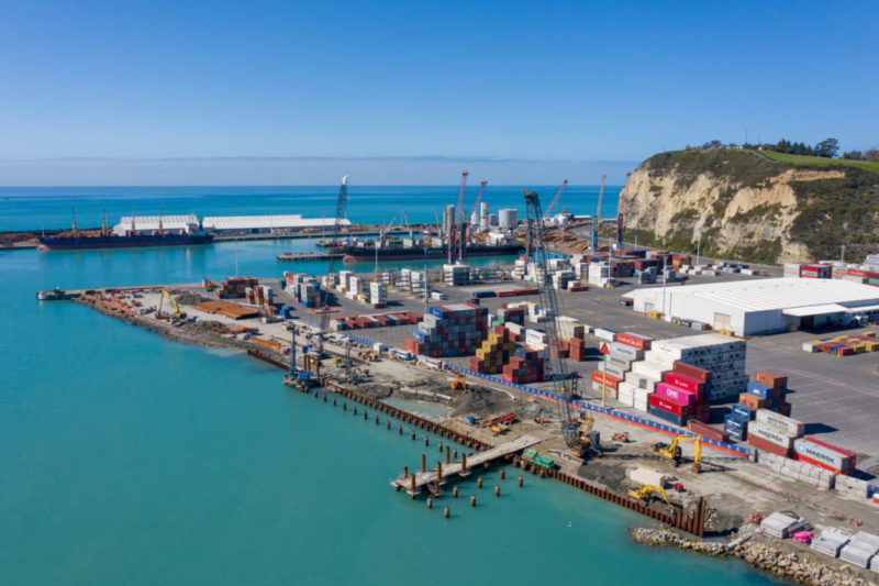
Auckland Council, a local government authority, faced a complex hurdle in extracting council property IDs from Survey123 data. The data posed challenges concerning property addresses and GPS information, which impeded accurate identification and matching processes. Resolving this issue was crucial to ensure precise and efficient management of property records, vital for city planning, infrastructure development, environmental management, public services, and community initiatives.
To overcome these challenges, the Auckland Council Geospatial team utilised FME expertise to deliver a multi-faceted data transformation approach beginning with data cleansing. Adjustments to elevate data quality were followed by a process of exact address matching. Utilising FME’s spatial relator, a 14% success rate for exact property address matching was achieved. Partial address matching was overcome again with the help of FME, matching street numbers and names within a 200-meter radius, resulting in a 50% success rate. Conquering initial geocoding tool limitations, FME’s JSON Fragmenter is employed for combining geocoding benefits with property ID provision.
Despite these initial efforts, some inaccuracies persisted, requiring further work. The team began by comparing new geocoding coordinates with the original ones to ensure accuracy. FME established matching criteria based on the presence of a house number, improving confidence even without suburb information. The JSON Fragmenter verified location differences using the partial address field (without suburb) and FME’s NeighbourhoodFinder tool identified potential addresses with similar numbers and road names within a specified distance. Finally, FME’s FeatureMerger consolidated address parts and resolved remaining unresolved addresses from the JSON Fragmenter.
Deploying FME’s address resolution capabilities, the Auckland Council Geospatial team successfully improved the accuracy of property records by an impressive 80%, overcoming numerous address-related issues present in the Survey123 data.
The new and improved process delivered several positive outcomes, including a comprehensive list of affected properties accompanied by confidence ratings for accuracy. It also revealed unresolved matches lacking house numbers or street extensions and identified survey photos suitable for address refinement. Additionally, a method was established to rename survey PDFs using confirmed property IDs, accommodating instances where multiple properties were surveyed together.
Accurate property records are the foundation of effective local government underpinning everything from city planning and infrastructure investment to environmental management and community services. When address data is unreliable, the knock-on effects ripple across the organisation.
By utilising FME to systematically cleanse and resolve address-based survey data, councils can dramatically improve the quality and trustworthiness of their property records while also surfacing the upstream data collection issues that cause inaccuracies in the first place. The result is not just cleaner data, but a smarter, more efficient survey process that frees teams to focus on the work that truly matters.
Powered by Locus Expertise
Auckland Council’s Geospatial Team Boosts Property Data Accuracy by 80% using FME, Resolving Complex Challenges in Extracting Property IDs from Survey123 Data for Enhanced City Planning and Public Services.