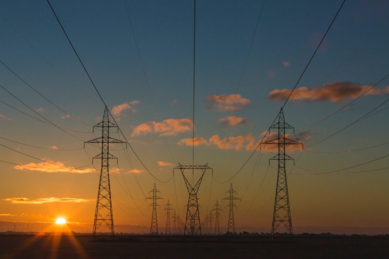
What is FME?
The only all-data, any-AI platform
TRAINING
Hands-on, practical training for individuals and teams
INTEGRATION
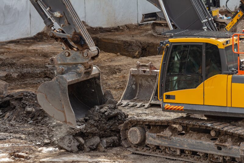
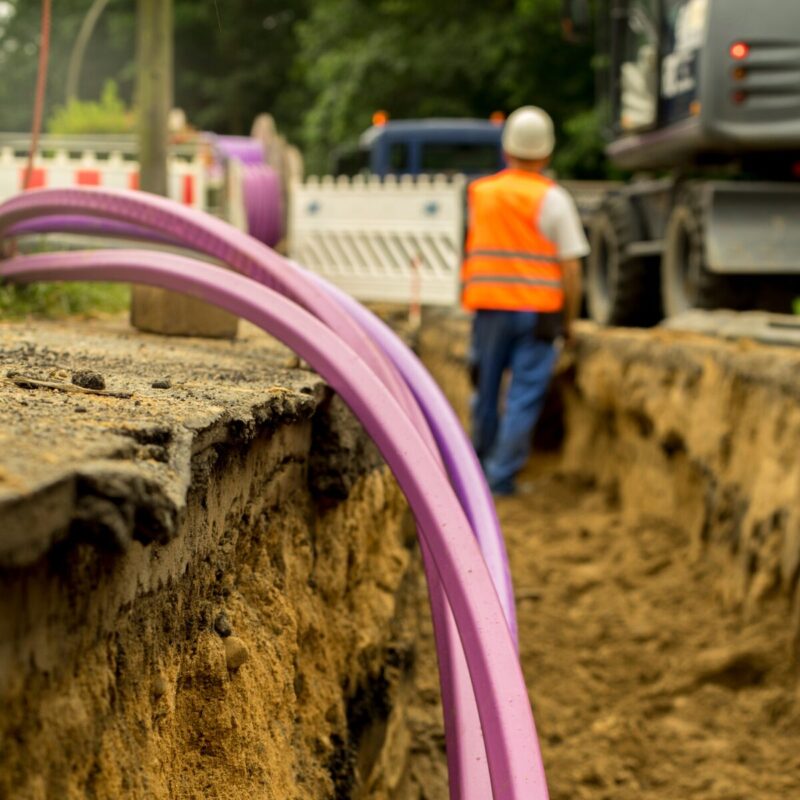
Remove silos, connect all your data and make it usable
CUSTOMER SUCCESS STORY
By leveraging FME and Esri’s ArcGIS Online, KiwiRail streamlined the analysis of hundreds of smartphone damage photos across hundreds of kilometres of rail network, transforming raw field data into a coordinated, rapid emergency response.


– Andrew Shakes, Geospatial Lead, KiwiRail
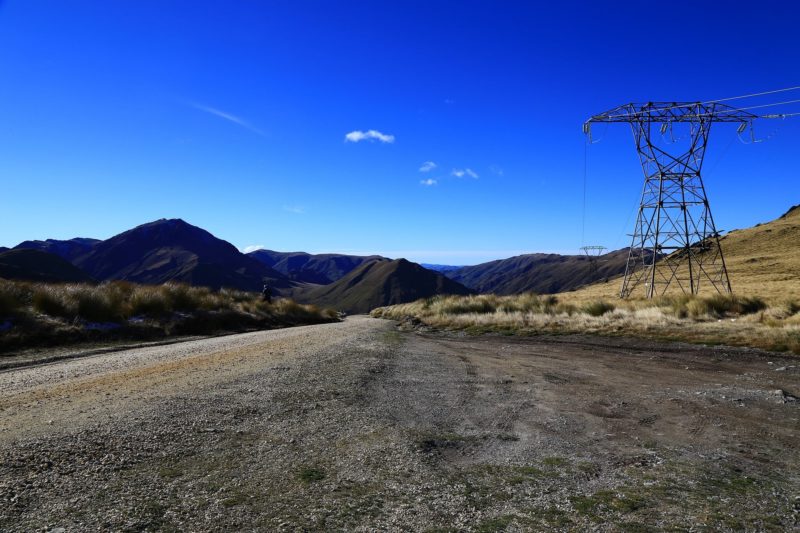
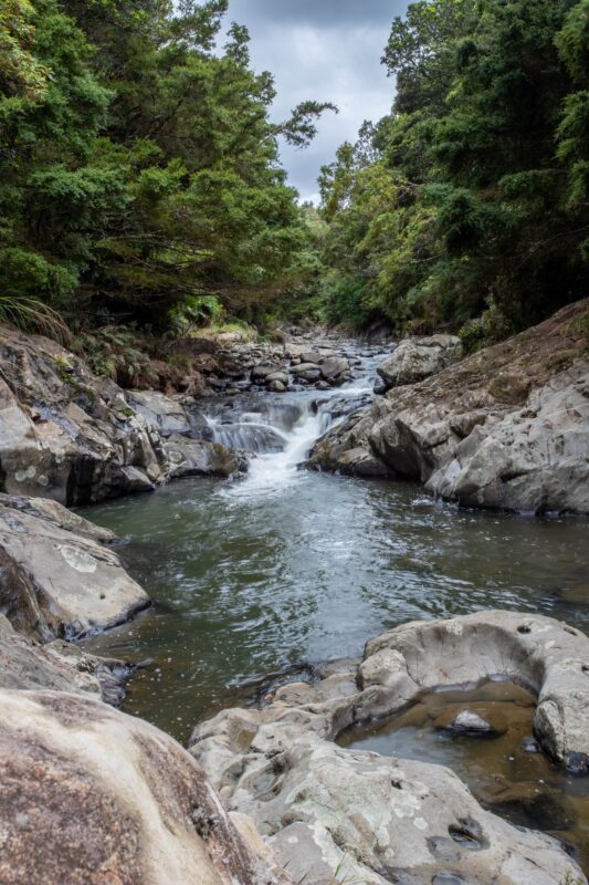
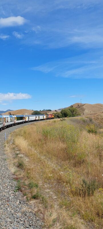
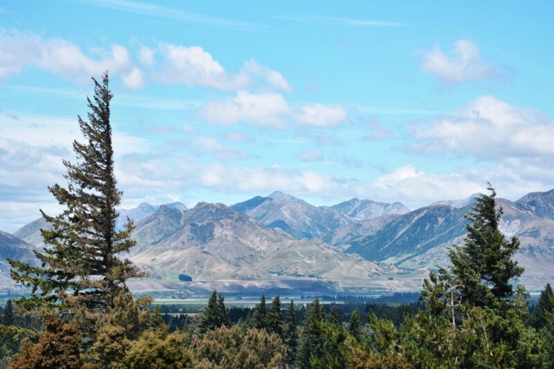
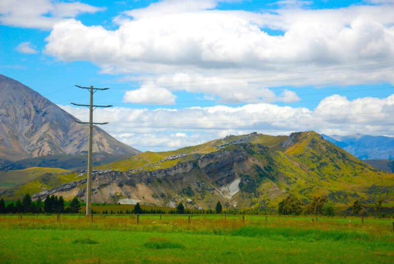
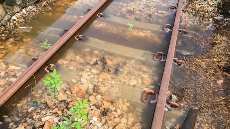
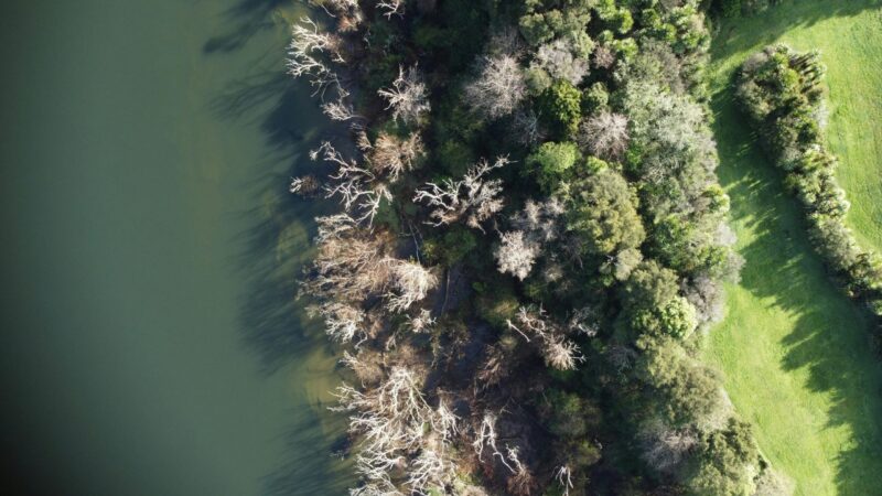
In early 2023, Cyclone Gabrielle devastated railway infrastructure across Northland, Auckland, and the Hawkes Bay regions of New Zealand. With rail tracks cut off and roads impassable, damage assessment in the hardest-hit areas could only be conducted by helicopter.
Within the days following the cyclone, KiwiRail, owners and maintainers of all rail operations in New Zealand, needed to grasp the full scope of the damage for the most effective response.
Frontline staff captured hundreds of photos on their smartphones, an invaluable source of intelligence.
Pinpointing where each photo was taken was crucial for identifying the areas of greatest damage. KiwiRail urgently needed a precise and scalable solution to assess the damage and respond effectively. They chose to work with Safe Software partner, Locus.
To streamline damage visualization, the team used Esri’s ArcGIS Online Media Instant app to map the damage. FME played a vital role in handling the overwhelming flow of photos, efficiently managing the large volume of data to support KiwiRail’s response.
FME collected various file types like JPG and iPhone HEIC, filtering and organizing files to speed up processing. They used FME to leverage the Exif (Exchangeable Image File Format) metadata embedded in each photo—such as location and time—to create an actionable map of the cyclone’s impact. For images exceeding Esri’s attachment size limit, FME was used to resize images, ensuring they met upload requirements without sacrificing quality.
The FME semi-automated process converted GPS coordinates, reformatted dates, and verified geospatial metadata accuracy. FME used Esri’s REST API to upload photos and metadata to ArcGIS Online, enabling the creation of visualizations for easier coordination. Throughout the workflow, FME flagged issues such as missing GPS data or incorrect formats, documenting them in a spreadsheet to communicate back to staff in the field.
Visualising damage photos with precise dates and locations allowed KiwiRail to safely coordinate their response across hundreds of kilometres of treacherous terrain.
With just a few clicks, geospatial specialists could process and upload the photos, saving valuable time. FME ensured a continuous stream of intelligence flowed from the field to the response team, enabling a well-coordinated, full-scale cyclone damage assessment that saved months of work.
When Cyclone Gabrielle devastated New Zealand’s railway infrastructure, KiwiRail needed a rapid, efficient way to assess the damage across hundreds of kilometres. By leveraging FME and Esri’s ArcGIS Online, they streamlined photo analysis, enabling a swift, coordinated response to the crisis.
By utilizing FME to orchestrate complex data integration and cloud mapping workflows, infrastructure providers can eliminate manual bottlenecks and accelerate operational speed during critical emergencies. Automating the ingestion of crowdsourced field data ensures decision-makers receive trusted, accurate insights when minutes matter most, transforming raw field intelligence into an effective, coordinated response.
Powered by Locus Expertise
In the aftermath of Cyclone Gabrielle, KiwiRail faced the urgent task of assessing extensive rail damage across New Zealand. Using FME and Esri’s ArcGIS Online, they developed an efficient workflow to analyse hundreds of geotagged photos taken by frontline staff. This streamlined approach enabled rapid visualisation and coordination, allowing KiwiRail to respond swiftly and effectively to critical infrastructure needs.