What is FME?
The only all-data, any-AI platform
TRAINING
Hands-on, practical training for individuals and teams
INTEGRATION
Remove silos, connect all your data and make it usable
CUSTOMER SUCCESS STORY
By partnering with Locus to build an FME-powered geospatial hazard analysis process, Powerco automated the assessment of thousands of assets across multiple climate scenarios and time horizons transforming what would have been a prohibitively manual undertaking into a scalable, repeatable workflow that directly informed its Climate Adaptation & Resilience Plan and regulatory disclosures.


– Elizabeth Shires, Sustainability Project Engineer, Powerco
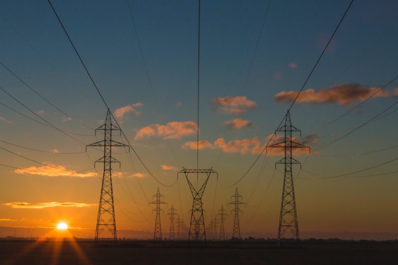
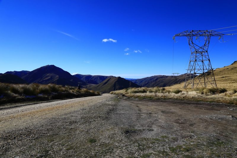
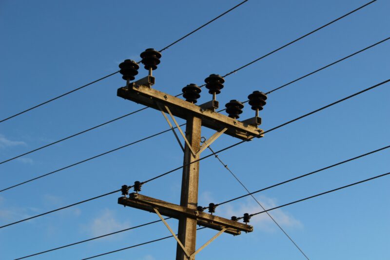
Powerco is New Zealand’s largest electricity utility by area and one of the country’s major gas distributors, managing more than 29,000 km of electricity lines and 6,200 km of gas pipelines serving hundreds of thousands of homes and businesses. As a mature asset owner, Powerco wanted to understand the external climatic risks to its networks across multiple scenarios and ensure investments support a safe, sustainable, resilient, reliable, and affordable service.
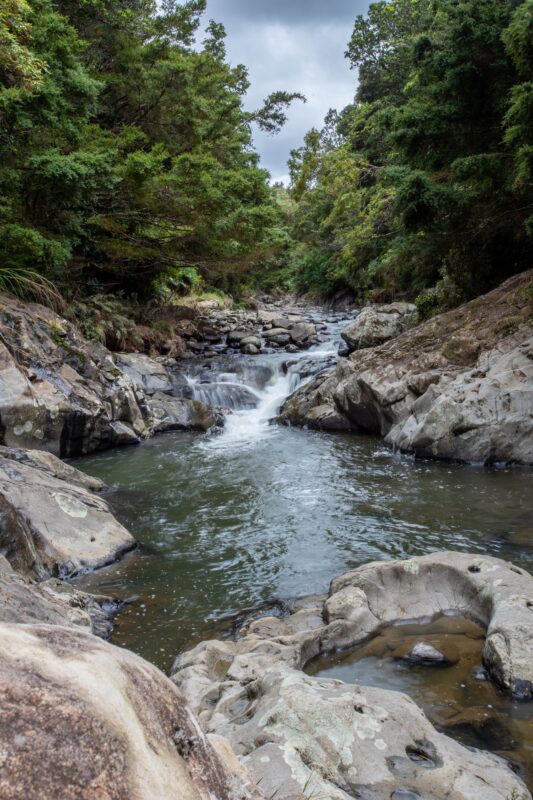
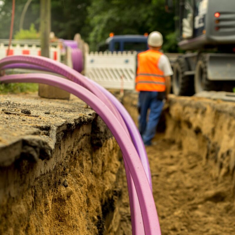
Powerco’s assessment focused on material climate hazards including acute risks like floods and chronic risks such as sea level rise, across short, medium, and long-term horizons. With thousands of assets to assess, doing so manually across various climate scenarios and time horizons would have been prohibitively time-intensive. Powerco also needed to fulfil its data reporting requirements as a lifeline utility under the Climate Change Response (Zero Carbon) Amendment Act 2019 and align with the Commerce Commission’s regulatory requirements publishing its first Climate Adaptation & Resilience Plan and Climate-related Disclosures Report in the process.
To evaluate the exposure of thousands of gas and electricity assets to flooding and sea level rise across three warming scenarios and time horizons, Powerco engaged Locus to develop an FME workbench process. The process integrated electricity and gas asset data with climate hazard data in Powerco’s GIS platform. FME’s capabilities enabled the analysis of these datasets including point, line, or polygon geometries — to identify impacted assets.
Custom rules were developed to identify assets at risk. For example, underground gas pipes and electricity cables on bridges were flagged due to flooding vulnerability. As Powerco Gas Asset Strategy Manager Anna Middlemass explains: “We only have to look at recent flooding events in Napier. The Waitangi (Tūtaekurī) River bridge was the most affected during Cyclone Gabrielle in 2023, prompting ongoing investigations into proactive measures.”
Other rules identified electricity overhead conductors near forests, active slips, or river crossings. As Powerco Electricity Future Networks Engineering Manager Kewen Kueh notes: “Road damage to remote communities greatly impacts the ability to repair networks damaged by storms, such as the road washout of Coast Road to Ākitio during Cyclone Gabrielle. High winds can cause vegetation outside of the tree clearance zones to fall on lines and cause widespread outages. Rivers can erode and impact assets on riverbanks.”
A specialist team of engineers was also trained to analyse the FME output in Powerco’s GIS platform, overlaying diverse data attributes including critical customer supply points such as hospitals to determine asset vulnerability and identify assets for further desktop analysis using tools like LiDAR data and aerial imagery.
The result was a comprehensive list of assets exposed to climate hazards across various scenarios and time horizons, visualised through detailed regional vulnerability maps. The outcomes are documented in Powerco’s Climate Adaptation & Resilience Plan and Climate-related Disclosures Report providing a snapshot of the percentage of assets exposed and vulnerable to climate risks, and outlining strategies to proactively identify, mitigate, and adapt to those risks.
Together, these documents consolidated years of planning for climate impacts into a cohesive approach, fulfilling Powerco’s reporting requirements and helping customers and shareholders understand how climate change is impacting the business now and in the future. Critically, the project also upskilled the engineers who work directly with Powerco’s assets — building internal capability for ongoing climate risk analysis that extends well beyond this initial engagement.
For lifeline utilities managing extensive infrastructure networks, climate risk assessment at scale is no longer optional it is a regulatory requirement and a board-level responsibility. When that assessment depends on manual processes, the result is inevitably incomplete, inconsistent, or too slow to inform timely investment decisions.
By utilising FME to automate the integration and spatial analysis of asset and climate hazard data across thousands of assets and multiple scenarios, utilities like Powerco can meet their disclosure obligations efficiently, identify vulnerabilities before they become failures, and build the internal GIS capability to repeat and refine that analysis as climate data and standards continue to evolve. As Kewen Kueh puts it: “Sharing an understanding of those risks, and the approach to planning and responding, is an important part of working with communities on adaptation and resilience strategies.”
Powered by Locus Expertise
Powerco is strengthening climate resilience with an FME-powered solution that automates asset vulnerability assessments. By integrating geospatial hazard data with its electricity and gas networks, Powerco can efficiently identify at-risk assets and inform future-ready infrastructure planning. This innovative approach supports smarter investment decisions, ensuring a more resilient and sustainable service for its customers.