What is FME?
The only all-data, any-AI platform
TRAINING
Hands-on, practical training for individuals and teams
INTEGRATION
Remove silos, connect all your data and make it usable
CUSTOMER SUCCESS STORY
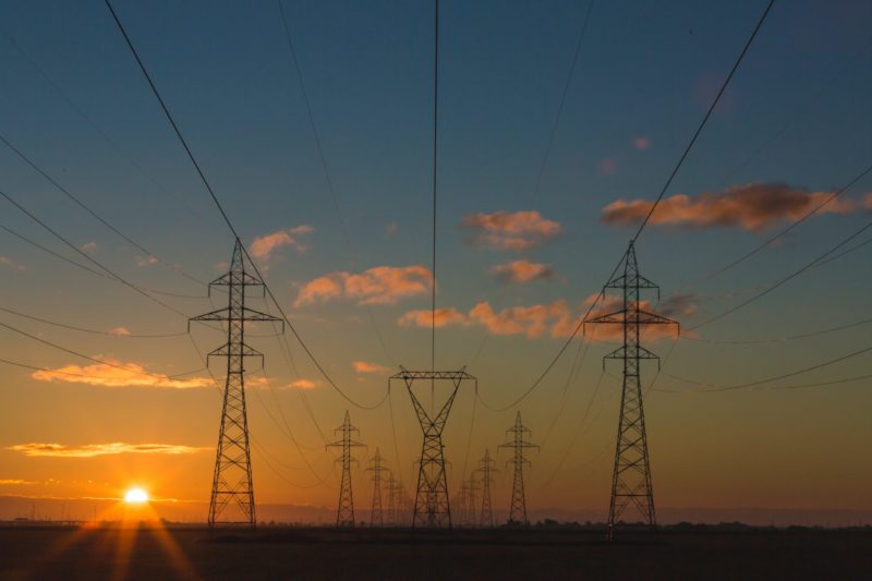
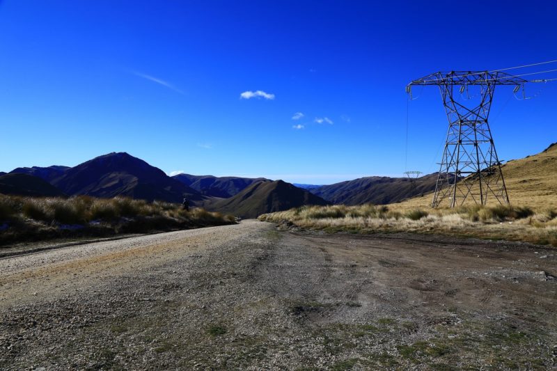
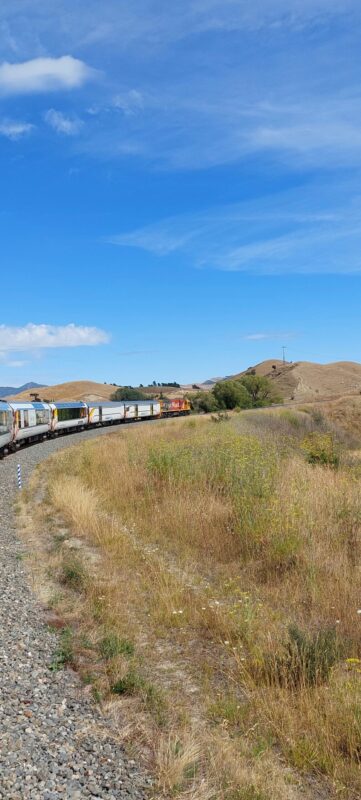
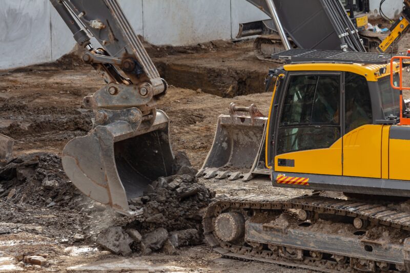
By using FME point cloud transformers to automatically extract building heights from extensive LiDAR datasets, NIWA has scaled up its natural hazard exposure modelling and accelerated critical data processing speeds by more than 30%.


– James Sturman, Principal Technician, NIWA

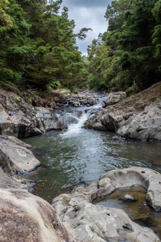
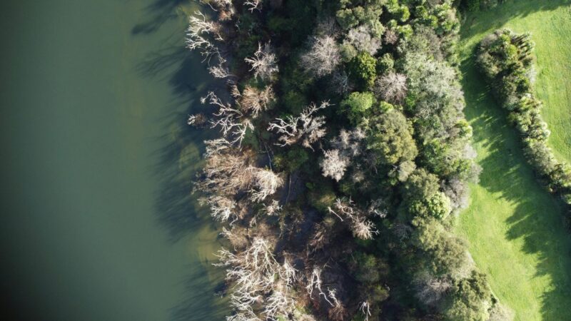
NIWA is a leading environmental research organization committed to the science and management of New Zealand’s invaluable natural resources. Leveraging its network of environmental observation systems and data servers, NIWA collects and analyses diverse environmental data sets, including weather conditions, water quality, wave patterns and atmospheric chemistry. NIWA relies on FME to empower its data management and analysis capabilities.
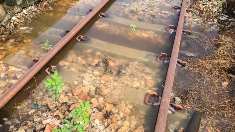
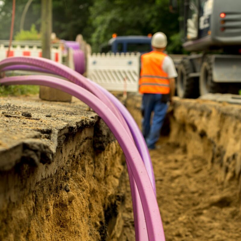
The natural hazards and resilience science programmes at NIWA pose distinctive obstacles that demand precise data analysis. One of these challenges involves extracting building height information from LiDAR point cloud data to assess exposure and vulnerability to natural hazard events, such as flooding.
Using FME point cloud transformers, NIWA was able to process extensive LiDAR datasets. By combining LiDAR data with national building footprints, FME is used to estimate the number of floors and floor height above ground. This critical information enhances NIWA’s ability to assess flood impacts on buildings and enables national-scale flood impact assessments, strengthening their resilience against natural disasters.
As a result of using FME, NIWA has experienced numerous benefits in their environmental data management and analysis practices, including enhanced accuracy in flood impact assessments and scalable solutions for handling large-scale LiDAR datasets.
FME automation has also reduced data processing time significantly by over 30%, allowing the team to focus on their research and value-adding projects. This efficiency boost is a testament to the power of FME in transforming environmental data management and analysis, making it an invaluable tool for organisations like NIWA in their mission to protect and manage natural resources.
NIWA (National Institute of Water and Atmospheric Research) uses FME to manage and analyse diverse data sets, including LiDAR data for flood impact assessments, strengthening their resilience against natural disasters.
By utilizing FME to orchestrate heavy spatial extractions and cross-validate dense point cloud files with geographic footprints, environmental research bodies can break down complex data barriers and map national risks effectively. Automating these data pipelines ensures that public and private stakeholders receive highly accurate asset vulnerability metrics ahead of extreme weather events, transforming raw structural data into reliable, scalable insights that safeguard infrastructure and support proactive climate resilience across the country.
Powered by Locus Expertise
NIWA enhances hazard management through FME data integration, utilising LiDAR analysis to assess building exposure and vulnerability to natural hazards, such as flooding. Leveraging FME’s capabilities, NIWA achieves improved accuracy in flood impact assessments and significant time savings in environmental data management, reinforcing their resilience against natural disasters.