What is FME?
The only all-data, any-AI platform
TRAINING
Hands-on, practical training for individuals and teams
INTEGRATION
Remove silos, connect all your data and make it usable

CUSTOMER SUCCESS STORY
By deploying FME Flow to automate site works alerts against business rules and permissions protocols, Napier Port’s GIS team gave the 6 Wharf construction project complete, real-time visibility over the location and safe operation of major assets — removing manual data handling and keeping people safe throughout one of New Zealand’s most significant port infrastructure developments.




– Matthew June, Infrastructure GIS/CAD Technician, Napier Port

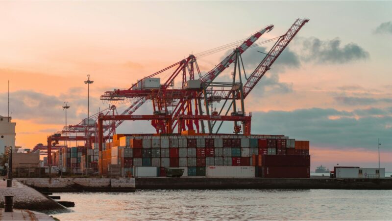
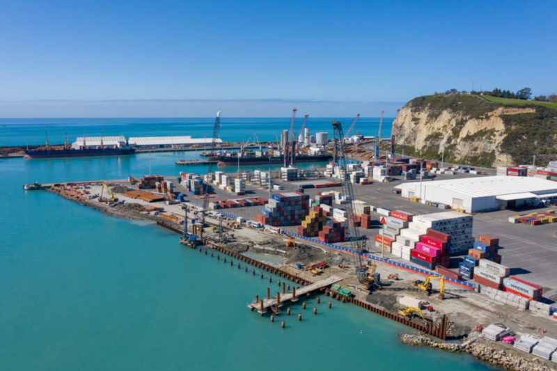
Napier Port, operational for almost 150 years, is the 4th largest container port by volume in New Zealand. Commencing in early 2020, construction of the new 350-metre-long 6 Wharf at Napier Port will extend the vessel capacity and operational accomplishment of this already hard-working asset, which is a global gateway for importers and exporters across the central and lower North Island.
Knowing the whereabouts of major assets on a construction site at any given stage is a safety requirement of all large building projects. It is also a significant operational efficiency enhancer. Understanding the precise locations and ensuring the routine monitoring of hot works, dredging, piling, and the overall composition of site works at 6 Wharf is an essential requirement of the port construction project.
Introduced by Locus to the GIS team at Napier Port in 2019, FME delivers highly automated, transparent, seamless data flow across a number of day-to-day operations, working alongside ArcGIS to maintain the integrity of the new wharf infrastructure development.
Employing FME Flow, the Napier Port GIS team were able to easily set up a system of site works alerts set against a backdrop of business rules and permissions protocols governing the position, availability, and if applicable, safe operation of major construction assets.
FME removes the manual manipulation of data, ensures complete transparency over site operations and progress, identification of potential hazards, and compliance with resource and regulatory requirements.
On a live construction site, the difference between knowing and guessing the location of a major asset isn’t just an efficiency question, it’s a safety one. When data has to be manually pulled together to answer that question, the answer always arrives too late.
By utilising FME Flow to automate real-time asset tracking and alerts within a GIS environment, port and infrastructure operators can maintain continuous, rules-based visibility over complex construction activity, protecting workers, maintaining regulatory compliance, and keeping projects moving without the friction of manual data handling.
Powered by Locus Expertise