What is FME?
The only all-data, any-AI platform
TRAINING
Hands-on, practical training for individuals and teams
INTEGRATION
Remove silos, connect all your data and make it usable

CUSTOMER SUCCESS STORY
By integrating FME Flow with ArcGIS Survey123, NZ Transport Agency Waka Kotahi (NZTA) reduced their ITSN equipment survey processing time by 90%, transforming a manual, full-day task into a near real-time automated workflow that strengthened data integrity, freed up their Spatial team, and built wider organisational confidence in FME.





– Lorin Lima, Manager Geospatial Intelligence, NZ Transport Agency Waka Kotahi
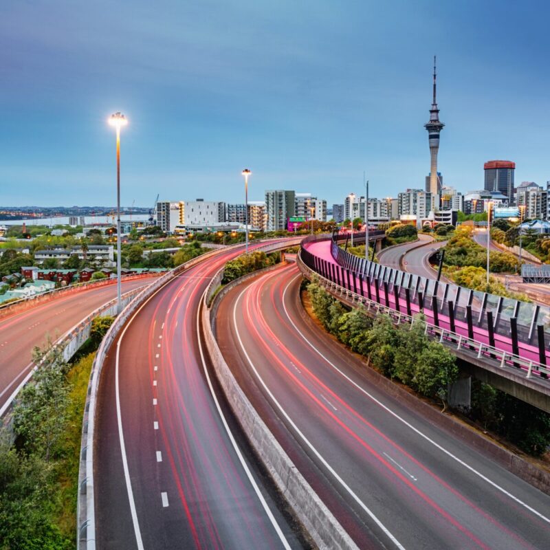
The NZ Transport Agency Waka Kotahi (NZTA) manages the national transport system, aiming to improve traffic flow, safety, efficiency, and environmental outcomes. A vital aspect of this effort is the Intelligent Transport System Network (ITSN), a technology ecosystem comprising various systems and applications, including devices like traffic signals, variable speed limits, dynamic lane management, and signs, mainly concentrated in New Zealand’s major cities.
Through ITSN Equipment Surveys hosted on ArcGIS Survey123, updating records and capturing details of newly installed network devices on the ITSN presented a significant challenge. The manual process of downloading, compressing, and sending photo attachments was time-consuming and inefficient, often taking an entire day to complete.
To address these inefficiencies, NZTA integrated FME into their workflow. Using an FME Flow webhook with ArcGIS Survey123, they automated the fetching of submission messages in JSON and the extraction of new network device equipment photos, eliminating the need for continuous manual input checks.
FME Flow extracts the necessary data and downloads equipment photos from form submissions. The photo URLs are converted to the required formats, saved in a file, and sent to an analyst for review. Upon confirmation, the file is uploaded to the ITSN SharePoint Group folder for the business owner. Automation enables multiple photo submissions per survey and ensures only new or edited form attributes are processed. Unique IDs are added to photo names along with data timestamps, minimising data loss and ensuring data integrity. With fluctuating survey demand, the automation process can run from zero to up to ten times per week.
The solution enabled a near real-time data management process, reducing the reporting task time by 90%, from almost a full working day to just five to six minutes. This efficiency allows business owners to review photos within minutes of submission, freeing the NZTA Spatial team to focus on other critical tasks and more quickly address additional tickets.
By implementing FME for ITSN data management, NZTA optimised resource use, built stronger stakeholder relationships, and ensured data integrity. The new system’s reliability and speed fostered trust and confidence in the process, with unique identifiers and timestamps mitigating the risk of overwriting and ensuring data recoverability. The success of the Geospatial team is now recognised organisation-wide — other departments regularly approach them to execute tasks requiring FME, demonstrating its potential for wider adoption across NZTA.
For agencies managing complex, device-rich infrastructure networks, the ability to capture and process field survey data in near real time isn’t just an efficiency gain — it’s the difference between a team that reacts and one that stays ahead. When that process runs manually, the cost is measured not just in hours but in delayed decisions, stakeholder frustration, and team burnout.
By utilising FME to automate the full ITSN survey workflow, from webhook trigger through to SharePoint delivery, NZTA has demonstrated how transport agencies can reclaim significant capacity from repetitive data processing, redirect it toward higher-value work, and build the kind of internal confidence in automation that drives adoption well beyond the team that started it.
Powered by Locus Expertise
NZTA revolutionised ITSN equipment management with FME. By automating survey data processing, they slashed task time from a full day to just five minutes. Real-time updates, improved data integrity, and increased stakeholder confidence are just some of the benefits