What is FME?
The only all-data, any-AI platform
TRAINING
Hands-on, practical training for individuals and teams
INTEGRATION
Remove silos, connect all your data and make it usable


Download the presentations via the table below
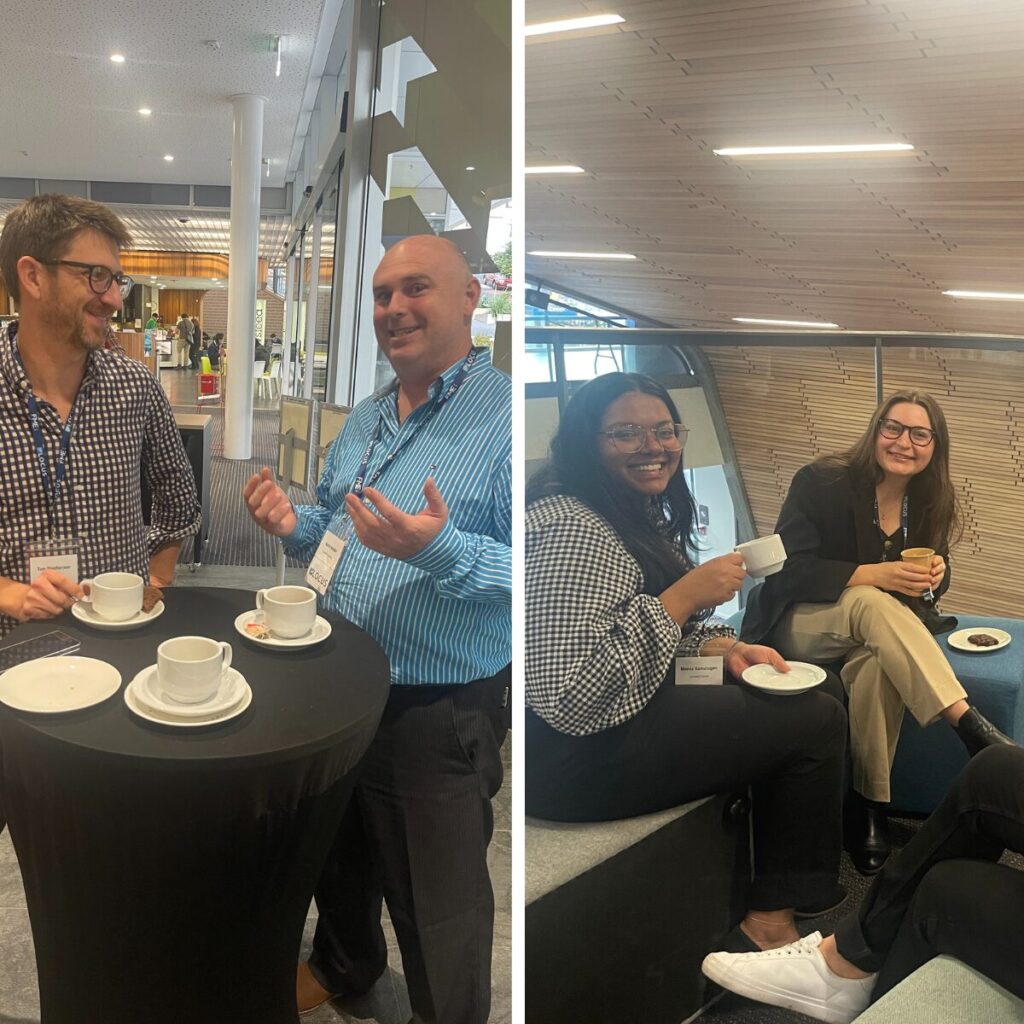
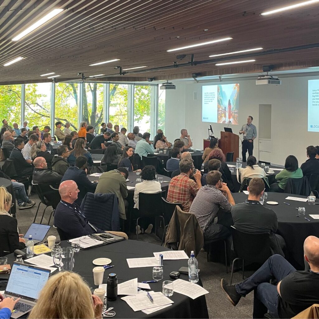
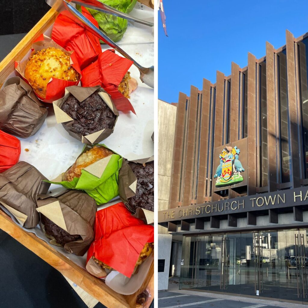
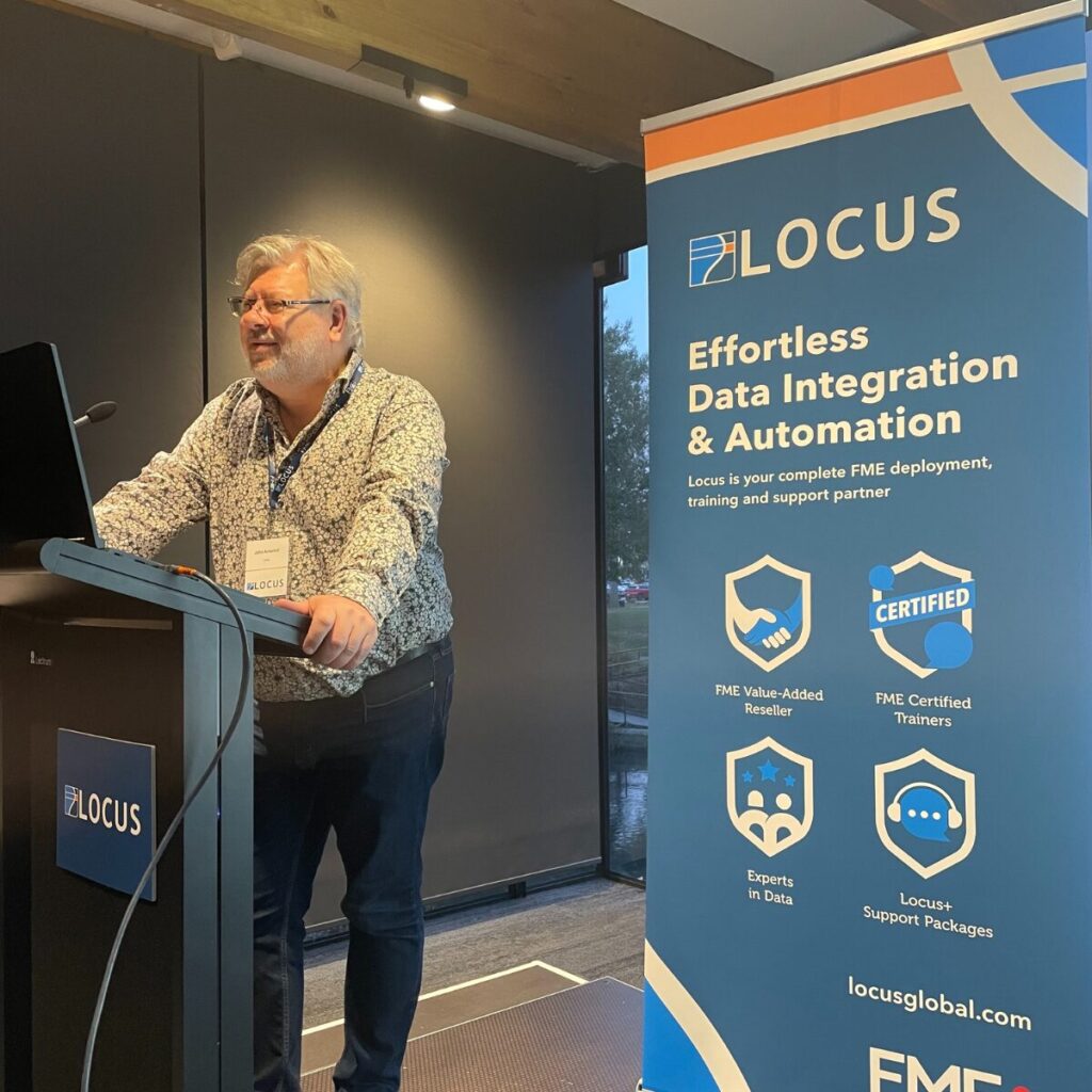
In May and June 2024, organisations from across New Zealand came together in Auckland (16 May), Christchurch (30 May) and Wellington (6 June) to share inspiring and innovative FME use cases. Informative and engaging, the Roadshow delivered New Zealand’s biggest gathering of FME users and we can’t wait to connect with you again soon.
| Title | Description | Presenters | Download Now |
|---|---|---|---|
| What’s New in FME 2024 | Discover the latest features of the FME 2024 software release | Jan Roggisch, Darren Fergus Locus | Download |
| How Data and AI are Shaping the Future of Air Travel | Air New Zealand is leveraging data science and AI to revolutionize the air travel experience | Liam Gilbey, Air New Zealand | Download |
| Automating FME Flow Installs | Utilize Windows PowerShell and infrastructure as code for swift FME Flow deployments | Hamish Kingsbury, Abley | Download |
| FME Flow on Kubernetes | Discover how Kubernetes empowers FME Flow to become an enterprise integration platform, aligning with modern DevOps practices | Jan Roggisch, Locus | Download |
| Taking the bore out of bores and takes data requests | Auckland Council have automated and streamlined restricted bore and take requests using FME and Esri, covering form submission, request approval and data extraction | Meena Iilamurugan, Auckland Council | Download |
| FME Powering NZ Defence Force, GEOINT ETL | Leveraging FME to establish critical geospatial data flows to operational users through the GEOINT ETL environment | Alex Pascoe, NZ Defence Force | Download |
| Structuring Human Geography Data for Enhanced Decision Making | How FME serves as a transformative tool in the digitization and management of intricate human geography data sets | Mark Stevenson, NZ Defence Force | Download |
| Looping while not looping | FME doesn’t loop natively, but we’ll explore alternate techniques to achieve similar results without custom transformers | Hamish Kingsbury, Abley | Download |
| Enhancing Transport Reporting Efficiency with FME Automation via Survey Webhooks | Highlighting integration with Survey 123 and our FME server, demonstrating real-time photo exportation workflow | Stewie He, Waka Kotahi, NZTA | Download |
| Stratospheric Remote Sensing | Collecting geospatial data from the stratosphere and New Zealand’s emerging aerospace industry | Mark Rocket, Kea Aerospace | Download |
| Enhancing Communication and Savings in Asset Management | The data extraction process for Chorus assets, focusing on annual age and condition assessments for the Commerce Commission | Jessie Singh, Chorus | Download |
| What Lies Beneath – Automating Subsurface Utility Exploration | Three Christchurch survey firms use an FME-based app to convert utility exploration survey data into digital PDFs for the Council’s Enhanced Feature Capture System | Gavin Jeter, Abley | Download |
| Paved Horizons: Mapping Auckland’s Future Land Use | Morphum, in collaboration with Auckland Council utilized geospatial tools to model a potential Auckland future land use scenario | Joshua Childs, Morphum Environmental | Download |
| FME Flow at KiwiRail | FME Flow automates data updates, spatializes datasets, and offers self-service tools. It also helps with GIS data extraction, SAP timesheet automation and freight schedule planning | Lina Le, KiwiRail | Download |
| Transforming Transportation: TREC’s Journey with FME Integration | Part 1: TREC project background and alignment with NZTA Strategy, Programs and Collaboration. Part 2: FME in Action. Integration and Opportunities in System Design, Digital Engineering and Project Showcase | Emma Winthrop and Jason Ridley, Transport Rebuild East Coast (TREC) | Download |
| FME Streamlining our Water Criticality | How we use FME to streamline water asset criticality assessment | Anh Dang, Selwyn District Council | Download |
| Rapid (Simple) Customer Transformer Creation | Guild to building a custom transformer using AI generated Python Code for a simple two-step process, emphasizing reusability and best practices | Chris Tredinnick, Abley | Download |
| Hybrid Approach for Aerodrome Safeguarding | How our aviation centric geospatial consultancy provides precise data, focusing on diverse tools to understand aerodrome complexities | Maksym Khovalko, BlackMaps Geospatial | Download |
| From Vertices to Rasters: Streamlining Flood Model Outputs | Efficiency generating raster flood models results – 250 deliverables, diverse formats, spatial filters, automation and precision | Maddie Giles, Stantec | Download |
| Photos in ArcGIS Online with FME | Using FME to streamline photo uploads, creating clear narratives. Discover the value of photo storytelling and see it in action though our Cyclone Gabrielle response efforts | Andrew Shakes, KiwiRail | Download |
| FME Flow Best Practice Success | Exploring a high availability, distributed deployment FME Flow solution that has powered City of Melbourne data performance to new and measurable heights | Rudy Vogt, City of Melbourne | Download |
| FME Freeboard Model | Used to inform a stormwater management plan, this innovative model helped calculate building freeboard, aiding in flood risk assessment. | Ting Kuy, Beca | Download |
| How GIS supported a community discussion about speed limits | TDC backed a joint project team, prioritising spatial data to visualize Draft Speed Management Plan options utilizing FME and ESRI | Mellissa Brooks, Tasman District Council | Download |