INDUSTRIES WE WORK WITH
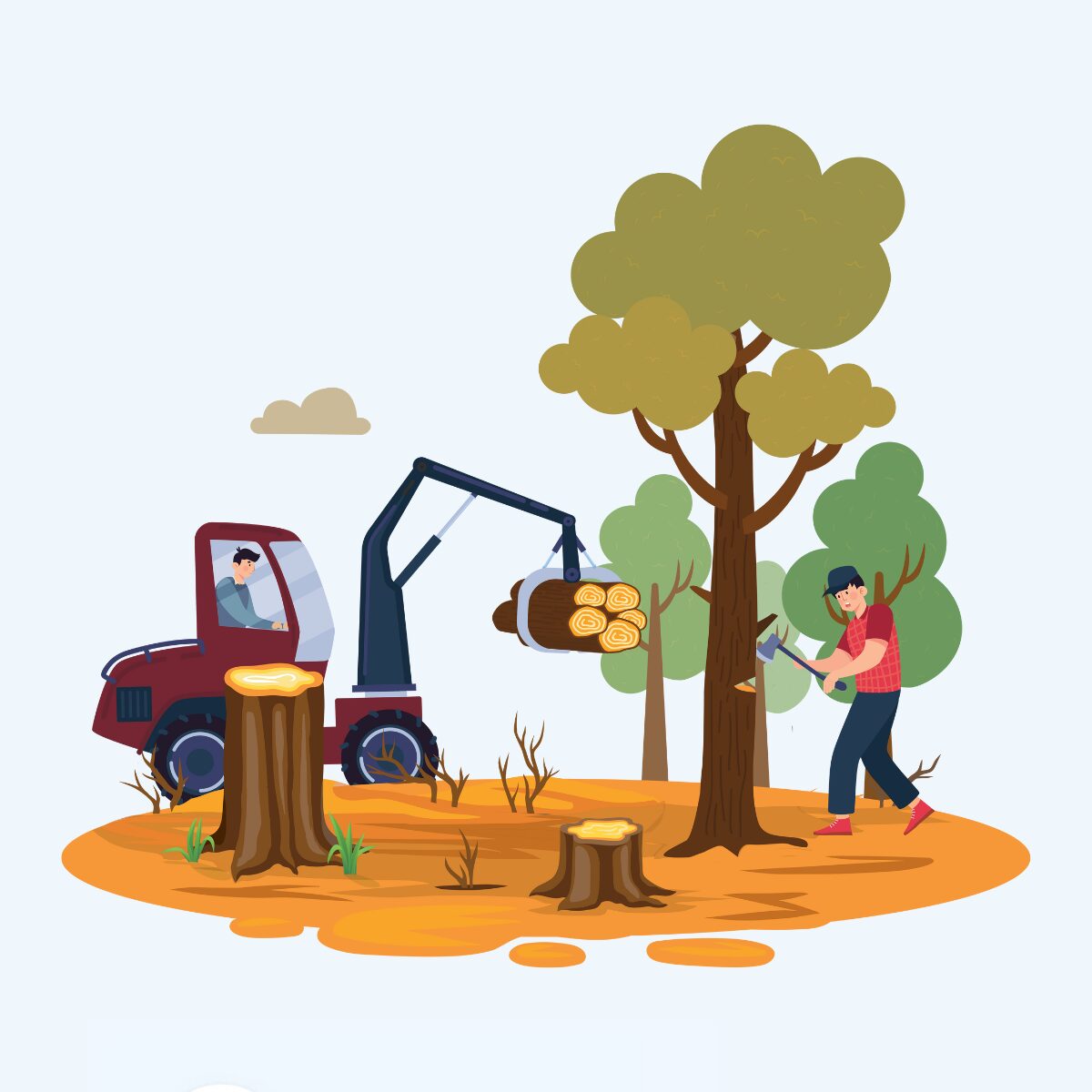
Forestry
Harnessing data to drive sustainable growth and efficiency in the forestry sector
Harnessing data to drive sustainable growth and efficiency in the forestry sector
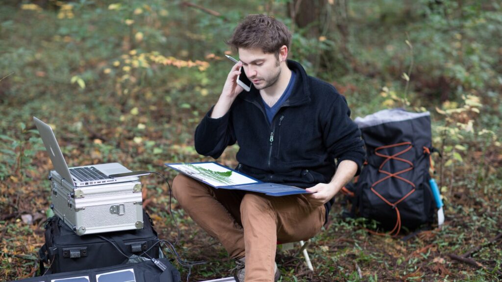
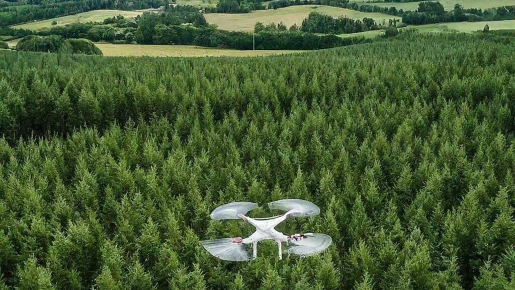
The vast landscapes and long-term growth cycles inherent in forestry create unique data challenges. Traditional methods often struggle to capture the spatially diverse nature of forests, leading to fragmented information on factors like tree health, soil composition, and wildlife habitat. Additionally, limited real-time data collection can hinder prompt responses to threats like forest fires or pests.
Complex spatial data analysis is crucial for tasks like optimising harvest plans or predicting growth patterns, but traditional tools may lack the necessary capabilities. These limitations can lead to suboptimal decision-making across the entire forestry value chain, impacting efficiency, sustainability, and profitability.
FME offers a powerful way to overcome these challenges and unlock the full potential of data-driven forestry.
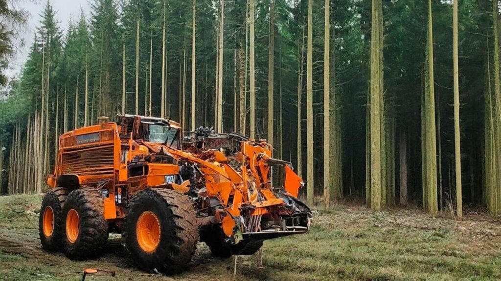
Forestry data consists of three key types: field data (such as LiDAR sensors, GPS, drone imagery, and weather data), forest management data (including GIS data, inventory records, growth models, and silvicultural information), and business and regulatory data (like permits, financial data, sustainability reports, and market data). FME plays a crucial role in integrating these diverse data sources, centralising and standardising the information to enhance collaboration, streamline workflows, and support more effective analysis.
Each data type, such as LiDAR scans, GPS data, or silvicultural records, has its own format and structure, requiring specialised tools and expertise to work with. FME transforms complex data into usable formats, streamlining workflows and reducing reliance on specialised tools, making data accessible to a wider range of users.
Traditional data collection and monitoring methods often struggle to provide timely data updates, hindering proactive decision-making on issues like forest fires, pest outbreaks, or harvesting. FME automates data workflows and facilitates real-time data updates.
Discover the data integration platform with the best support for spatial data worldwide.
Learn More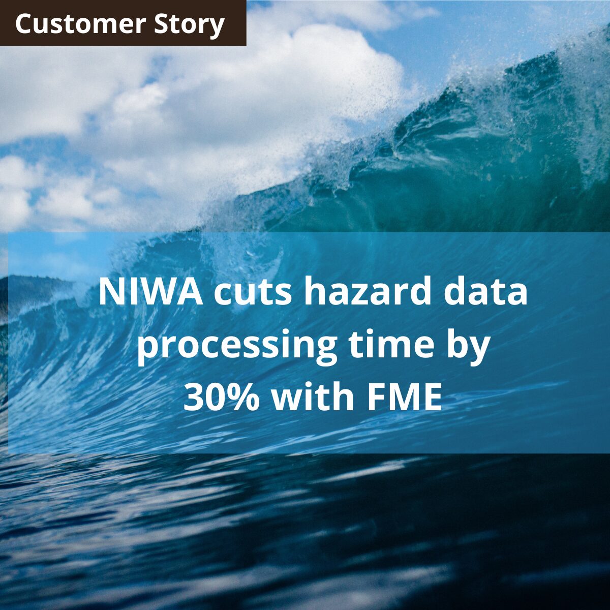
NIWA (National Institute of Water and Atmospheric Research) uses FME to manage and analyse diverse data sets, including LiDAR data for flood impact assessments, strengthening their resilience against natural disasters.
Read More
View our useful FME considerations flow chart to discover which product and licencing plan is right for you and your organisation
Learn More