INDUSTRIES WE WORK WITH
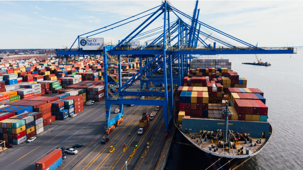
Transportation
Powering smarter movement across rail, road, air, and sea with data-driven innovation
Powering smarter movement across rail, road, air, and sea with data-driven innovation
Transportation companies depend on a wide range of critical data points to effectively forecast demand, optimise routes, and manage day-to-day operations. These data streams ensure that services run smoothly.
Key information such as traffic patterns, weather conditions, vehicle and driver performance, network capacity, and the status of transport hubs must be carefully monitored to achieve real-time transparency, enabling them to anticipate disruptions, optimise scheduling, and maintain communication with stakeholders.
This real-time access to data not only allows companies to respond quickly to challenges as they arise but also enables proactive decision-making. By understanding network capacity and the status of transport hubs, transportation companies can adjust their services dynamically, ensuring minimal delays, optimising fuel usage, and improving the overall customer experience.
With FME, operators can automate data workflows and integrate disparate data sources, ensuring that all systems are synchronised. Whether it’s real-time data from sensors, traffic reports, or GPS data from vehicles, FME enables data transformation and movement between systems, creating a single, unified view of operations.
Capacity strains, regulatory demands, fluctuating passenger and inventory levels are all challenges faced by transportation agencies that can be successfully met and managed by FME.
In the era of instant connectivity, passenger expectations have evolved to demand real-time information and personalized services. For transportation agencies this means going beyond operational efficiency and providing transparent, up-to-the-minute information.
By aligning GPS data with locations, schedules, individual customer preferences, live traffic updates, and even weather conditions, agencies can orchestrate a symphony of real-time information – distributed where and when it’s needed
Navigate the logistical demands of large-scale construction projects with ease at airports, seaports, rail, and road. Transform 2D data into 3D models and employ geo-fence techniques that amplify control, establishing virtual perimeters that trigger alerts and actions when breached.
Achieving governance requirements for the collection, storage and distribution of data is a key management issue for most transportation organisations. FME is an enabler for harmonised, available, up-to-the-minute data.


Take a 2 min tour of FME and understand how Locus can help support your data integration solution
Watch video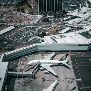
Using a combination of FME and ESRI tools, Auckland Airport built a solution that overhauled the mosquito inspection processes.
Learn More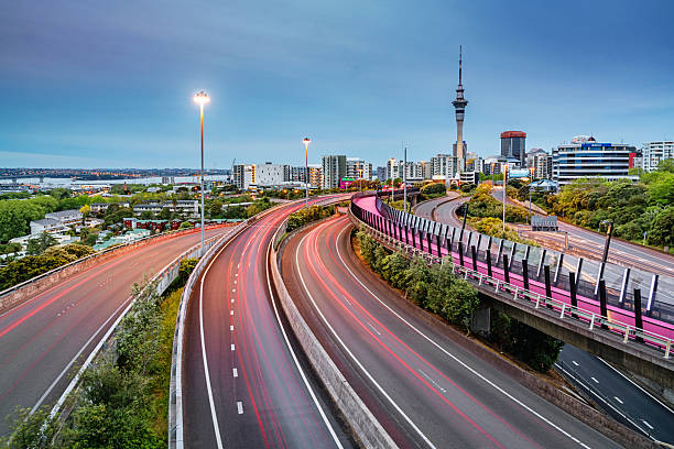
Auckland is experiencing rapid growth, and its transportation network is under pressure. To address this, Auckland Transport developed the Roads and Streets Framework (RASF) using FME to automate and streamline the assessment process for city planning.
Read More