What is FME?
The only all-data, any-AI platform
TRAINING
Hands-on, practical training for individuals and teams
INTEGRATION
Remove silos, connect all your data and make it usable
CUSTOMER SUCCESS STORY
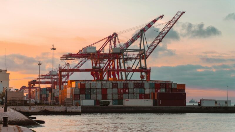
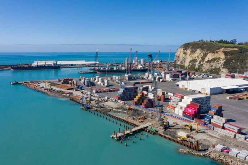
At the Port of Brisbane, MGN Civil worked with partner Locus to automate data processing for a large-scale ground improvement project. With manual processes overwhelmed by the sheer volume of data, the team developed an automated solution to improve accuracy and significantly reduce repetitive, time-consuming tasks


– Greg Lauer, MGN Civil
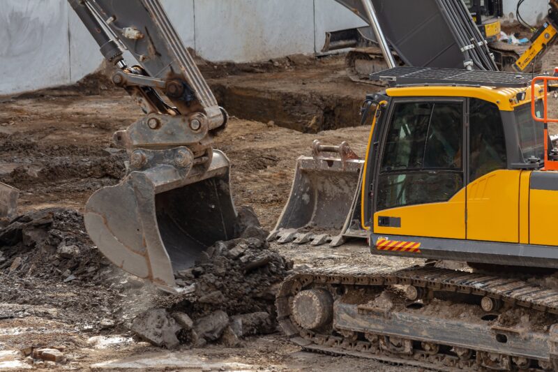
MGN Civil, a marine civil contractor, undertook an ambitious ground improvement project to aid in water drainage on reclaimed land and support long-term stability and performance at the Port of Brisbane. The project required drilling tens of thousands of “wicking holes,” or vertical shafts, reaching depths of 20 to 35 metres.
Beyond the engineering complexities of drilling, another challenge came from the sheer amount of data involved in this 24/7 operation.
The constant stream of data produced throughout operations was too much for existing manual processes to keep up with. Each drilling operation generated 2 XML files via onboard Trimble GPS devices, capturing precise location data and telemetry such as depth, penetration rate, and percussion. Field teams were tasked with manually downloading these files, processing them using Excel macros, and validating the results to ensure compliance with contract specifications.
This process took 2 team members up to 6 hours daily and was prone to errors, especially when macros failed or produced inconsistent outputs.
The consequences of delayed or inaccurate data processing were costly. Any non-compliant or missing holes identified after the drilling rig had moved required the repositioning of equipment, which was an inefficient and expensive process.
Locus worked with MGN Civil to reimagine this workflow using FME. The solution was built iteratively, allowing the team to respond to real-world constraints and opportunities as they came up. MGN Civil and Locus adopted an agile approach, working collaboratively to refine the solution to meet evolving requirements and operational insights.
An FME workspace was created to ingest and process XML data via Trimble Connect Cloud, with results loaded into a File Geodatabase. A second workspace handled daily reporting, automatically generating standardized Excel outputs, graphs visualizing sensor information, PDFs for each hole, and a daily summary report. Outputs were published as an ArcGIS Online Map Service and pushed to an Amazon S3 bucket, giving field teams immediate access to the data with no downloads or spreadsheets required.
To make the data even more actionable, Locus developed a real-time dashboard and Web Map in ArcGIS Online. With it, project teams could instantly see which holes had been drilled and whether they met all compliance standards. If an issue was detected, crews could act quickly while the rig was still on site.
FME played a key role in solving some of the intricate challenges presented throughout this infrastructure project. The Port of Brisbane used a custom coordinate system called Fisherman Island Grid (FIG). While FME handled the projection cleanly, a wrinkle in a device output reversed the expected X and Y coordinates. Solving this with FME meant the location data was reliable from day 1. When a platform didn’t support local Affine transformations, FME was used to reproject the geometry to a supported projection.
The impact was dramatic, as what once took days now took minutes. Missed or non-compliant holes could be identified and fixed before they became an expensive problem. Accuracy improved and staff were freed from repetitive tasks.
MGN Civil’s shift to an automated, real-time data pipeline has delivered more than just operational efficiencies. It has set a new benchmark for how civil infrastructure projects can use spatial data for live decision-making.
By removing manual bottlenecks, the team gained speed, visibility, confidence, and control, all without sacrificing the precision required for this project.
The increased accuracy and speed have set a new benchmark for how civil engineering teams can apply automation to improve efficiency.
By utilizing FME to orchestrate heavy operational machinery telemetry and cloud infrastructure data pipelines, contractors can bridge the gap between heavy field operations and live engineering intelligence. Automating quality assurance loops ensures field teams can make data-driven corrections while high-value assets are still positioned on-site, dramatically reducing re-mobilisation costs and establishing a new standard for infrastructure delivery precision.
Powered by Locus Expertise
At the Port of Brisbane, MGN Civil used FME to transform how ground improvement data was managed and shared. Automating manual processes improved accuracy, reduced turnaround times and gave project teams real-time insights, a major step forward in efficiency and collaboration.